Our Sites
Hadrian’s Wall
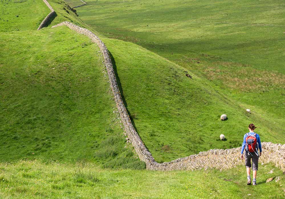
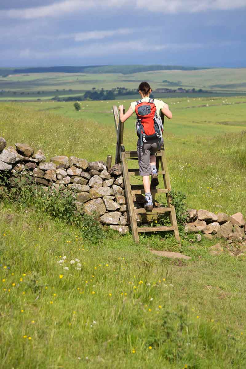
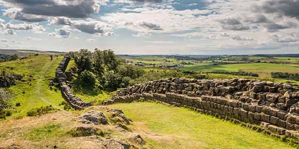
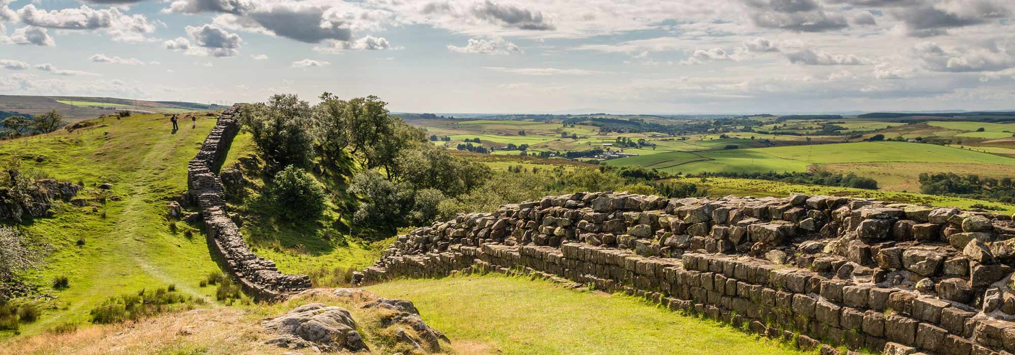
The property consists of three sections of the frontier: Hadrian’s Wall, the Upper German- Raetian Limes and the Antonine Wall, located in the northwestern part of the Empire, constituting the artificial boundaries of the former Roman provinces Britannia, Germania Superior and Raetia: Running 130 km from the mouth of the River Tyne in the east to the Solway Firth, Hadrian’s Wall was built on the orders of the Emperor Hadrian in AD 122 as a continuous linear barrier at the then northernmost limits of the Roman province of Britannia. The frontier extended a further 36km down the Solway coast as a series of intervisible military installations. It constituted the main element in a controlled military zone across northern Britain. The Wall was supplemented by the ditch and banks of the vallum, supporting forts, marching camps and other features in a wide area to the north and south, linked by an extensive road network. It illustrates an ambitious and coherent system of defensive constructions perfected by engineers over the course of several generations and is outstanding for its construction in dressed stone and its excellent use of the spectacular upland terrain through which it passed.
The Antonine Wall was built under the Emperor Antoninus Pius in the 140’s AD as an attempt to conquer parts of northern Britain and extends for some 60 km across central Scotland from the River Forth to the River Clyde. Through its military and civil constructions, it demonstrates cultural interchange through the extension of Roman technical skills, organisation and knowledge to the furthest reaches of the Empire. It embodies a high degree of expertise in the technical mastery of stone and turf defensive constructions. As it was in use for only a single generation, it provides a snapshot of the frontier at a particular point in time and offers a specific insight into how the frontier was designed and built. Together, the remains of the frontiers, consisting of vestiges of walls, ditches, earthworks, fortlets, forts, fortresses, watchtowers, roads and civilian settlements, form a social and historical unit that illustrates an ambitious and coherent system of defensive constructions perfected by engineers over the course of several generations.
Each section of the property constitutes an exceptional example of a linear frontier, encompassing an extensive relict landscape which reflects the way resources were deployed in the northwestern part of the Empire and which displays the unifying character of the Roman Empire, through its common culture, but also its distinctive responses to local geography and climate, as well as political, social and economic conditions.
Our Sites
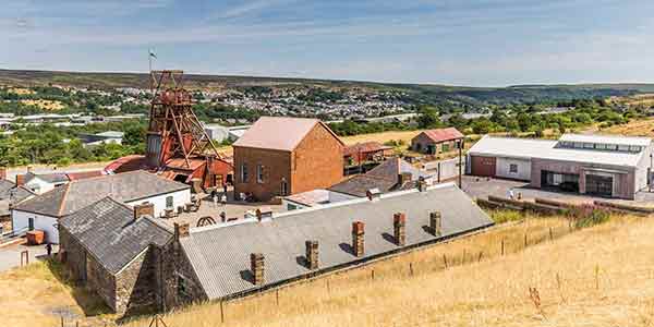
Blaenavon
Blaenavon Industrial Landscape was inscribed as a World Heritage Site by UNESCO in 2000. UNESCO recognised that “The area around Blaenavon bears eloquent and exceptional testimony to the pre-eminence of South Wales as the World’s major producer of iron and coal in the nineteenth century.
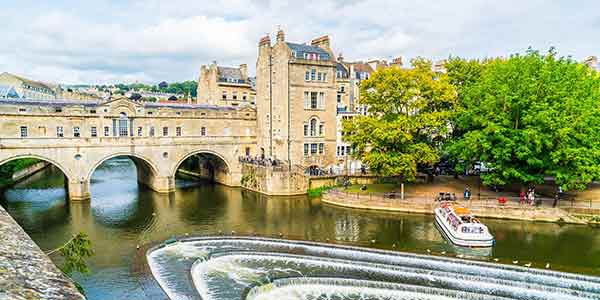
Bath
UNESCO added The City of Bath as a ‘cultural site’ to its World Heritage List in 1987. Bath is included because of its Roman Remains, 18th Century Architecture, 18th Century Town Planning, Social Setting, Hot Springs and Landscape Setting.
Pontcysyllte
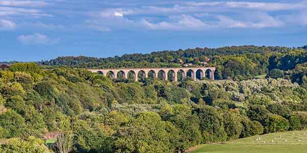
Pontcysyllte Aqueduct and canal consists of a continuous group of civil engineering features from the heroic phase of transport improvements during the British Industrial Revolution. The canal brought water borne transport from the English lowlands into the rugged terrain of the Welsh uplands, using innovative techniques to cross two major river valleys and the ridge between them.
Giants Causeway
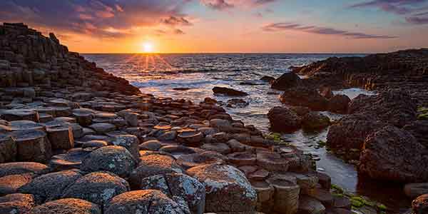
The Giants Causeway and Coastline is a spectacular area of global geological importance on the sea coast at the edge of the Antrim plateau in Northern Ireland. The most characteristic and unique feature of the site is the exposure of some 40,000 large, regularly shaped polygonal columns of basalt in perfect horizontal sections, forming a pavement.
Hadrian’s Wall
Hadrian’s Wall is an exceptional example of a linear Roman frontier, encompassing an extensive archaeological landscape which reflects the way resources were deployed in the north western part of the Roman Empire and which displays the unifying character of the Roman Empire, through its common culture.

